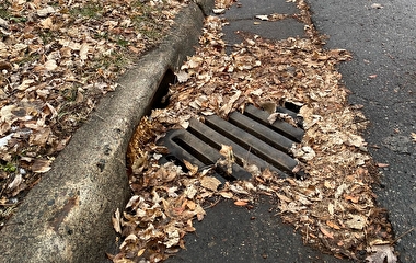
Road projects increasingly include techniques that reduce stormwater runoff volumes, improve runoff water quality, and reduce peak flow rate. Typical practices to reduce stormwater runoff volume include design and construction of infiltration basins. An alternative “green infrastructure” method is the use of vegetated roadside swales (drainage ditches), which receive road runoff from the entire roadway. Water is infiltrated over the side of the slope, and any water that runs off the side slopes has a further opportunity to infiltrate as it flows down the center of the swale.
Understanding the effectiveness of these side-slope solutions is essential, particularly in the project design phase. To address this need, U of M researchers developed a new, simplified tool that enables users to calculate the annual infiltration performance and generate a good estimation of the water captured by the channel and side slope of a roadside swale.
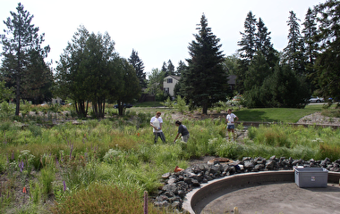
Data for the project were generated with 32 tests performed during three seasons along four different highways maintained by the Minnesota Department of Transportation in the Twin Cities metro area. “The tests showed that water flows down the slope in concentrated regions resembling fingers,” says John Gulliver, professor in the Department of Civil, Environmental and Geo- Engineering.
The research team (Gulliver, Professor John Nieber, and Ph.D. candidate Maria Garcia-Serrana) also collected data on the amount of water that infiltrates during storm events of different intensities and confirmed that infiltration was greater for longer side slopes and certain soil types. “Ultimately, we found that the vegetation, type of soil, and length of side slope are important to consider when constructing roadside swales that will be efficient in stormwater treatment,” he says.
After gathering data, researchers developed a runoff-infiltration model that calculates the amount of water infiltrated along the side slope of a roadside swale and couples that with a model of infiltration in the swale channel. The result is a combined model for both the side slope and channel of a roadside swale that can be used to estimate the infiltration performance of this green infrastructure for given rainfall intensities.
“After creating this model, we then transformed it into a simplified calculator that requires just four readily available inputs,” Gulliver says. “The result is a tool transportation practitioners can use to easily estimate the amount of water that will be captured by the channel and side slope of a roadside swale or drainage ditch.”
“We are very excited about this new research,” says Beth D. Neuendorf, district water resources engineer with MnDOT. “Previous calculators focused solely on the ditch bottoms. We are impressed with the University’s ability to take a complex process and create a simplified calculator to predict the infiltration capacity of swale side slopes. We are hoping this is another [best management practice] that we can use throughout Minnesota.”